Appalachian Trail - Georgia
A.T. Approach Trail - Amicolola Falls to Springer Mountain | 8.8 Miles


Gear List
Click Links Below To View
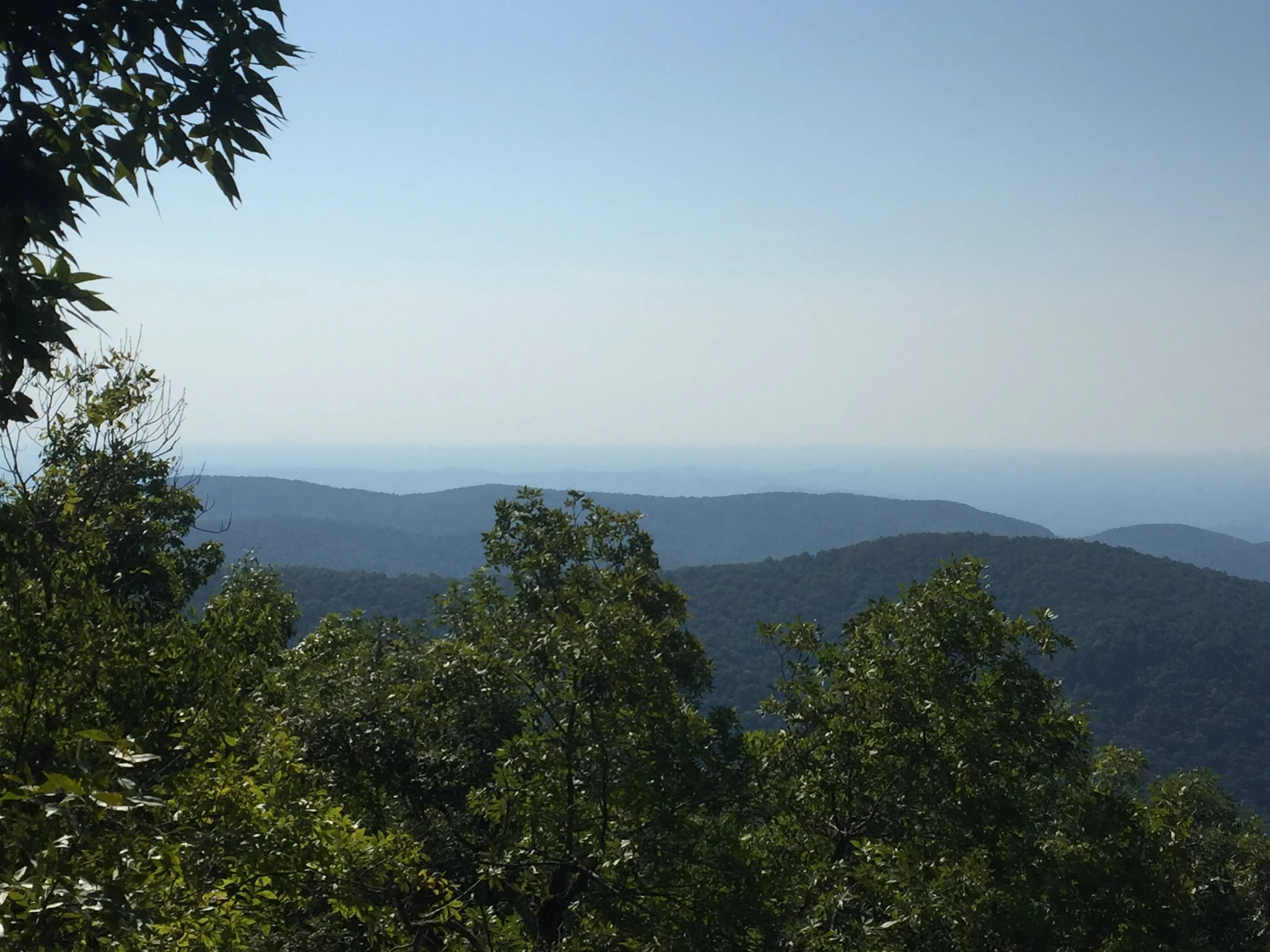
Amicolola Falls is Georgia's tallest waterfall as well as the A.T. Approach Trail Head. When entering the state park you are required to pay a $5 parking fee at the front gate and this gives you access to the entire park. If you plan on making the hike from Amicolola to Springer Mountain and need to park your car overnight you will need to check in at the guest registration office on the right just after you enter the park. From the base of the falls to Springer Mountain is roughly 8.5 miles and takes anywhere from 6.5 to 7.5 hours to hike. This caught me off guard as I was thinking it would take me an average of 20 minutes or so a mile. Give yourself plenty of time, some stretches of this hike are strenuous and you will climb almost 2000 ft in elevation at some areas. I was surprised to see the number of elderly hikers hitting the trail the same time as me. It was great to see and inspiring at the same time.
This was a last minute decision for me and I only had the one night out there. I was hiking alone which scares the beejesus out of my wife but the trails were phenomenal and clearly marked and I had cell phone reception the entire time. I also like using the Columbia GPS Pal app on my iPhone. My wife is able to log on the computer and see my progress after I have posted it. This app is also a great way to journal your Treks and add photos right into the entry. It's quickly becoming one of my favorite apps. It would be nice if they allowed for real time tracking though.
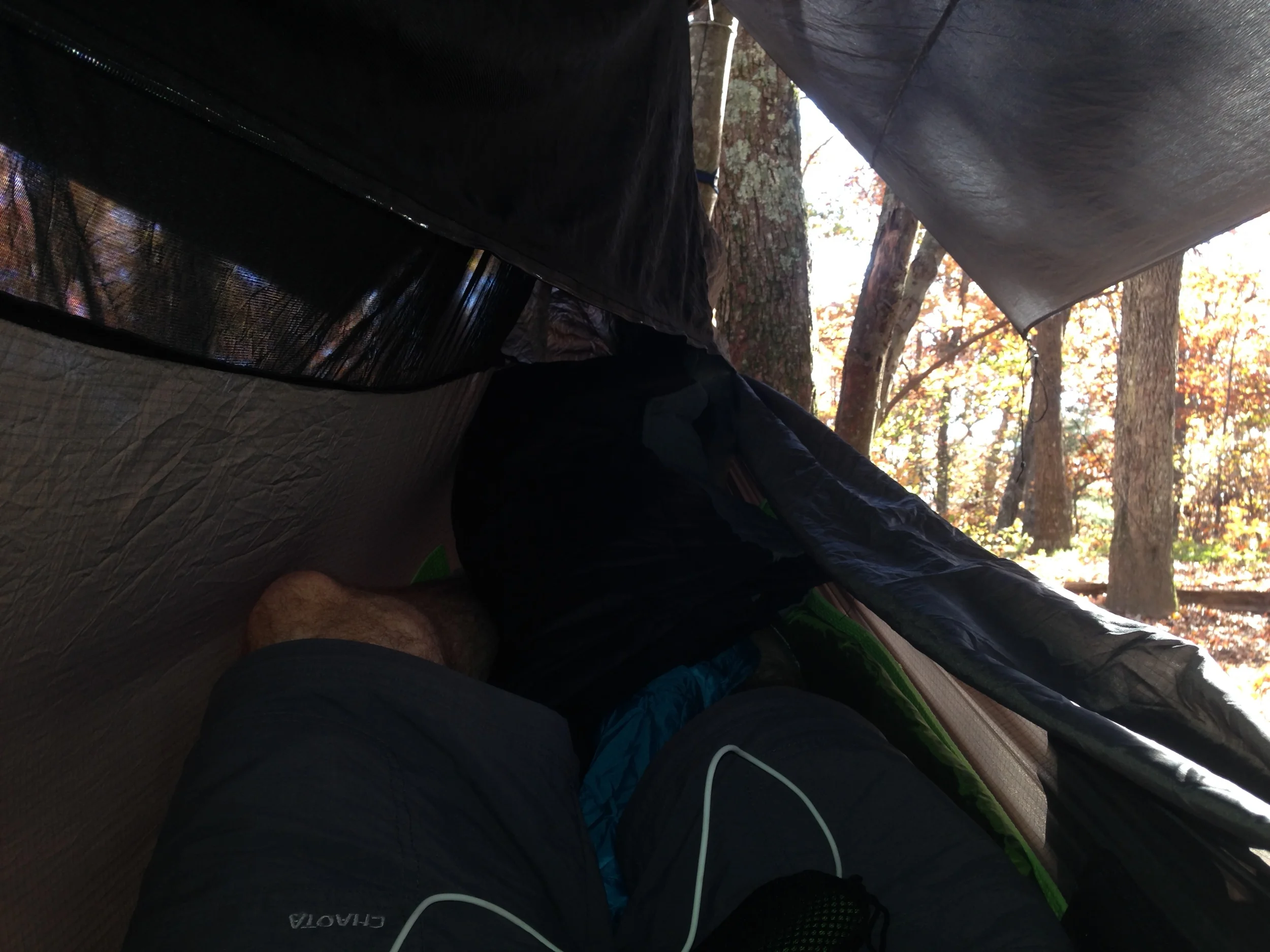
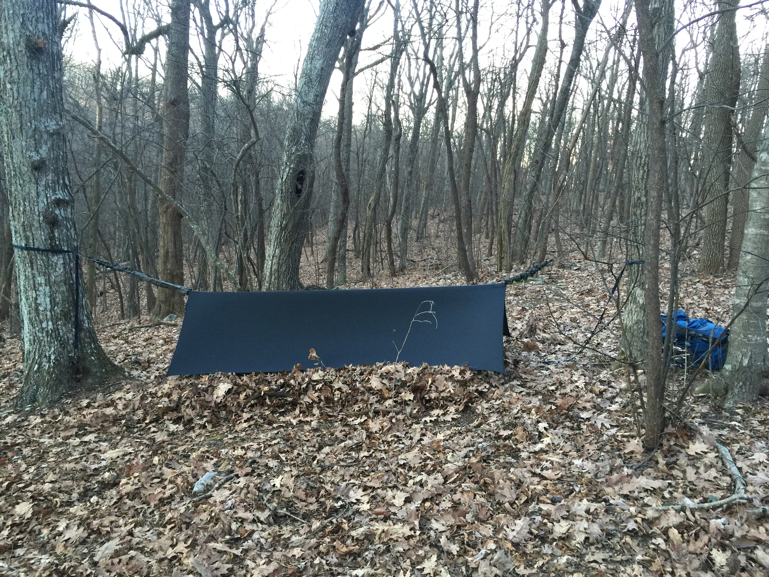
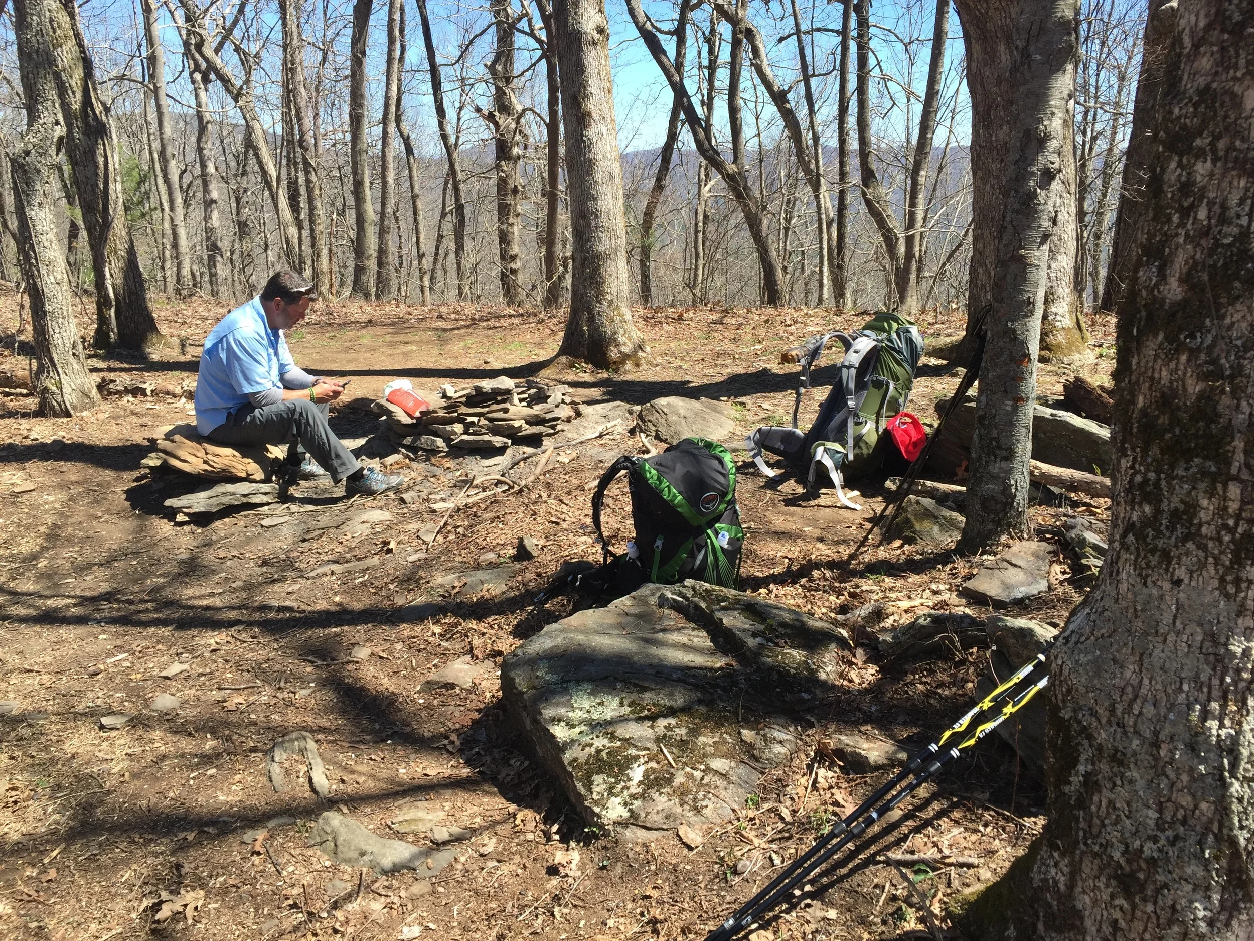
Along the trail you will see nice little sites to set up camp that were already created by others. This makes it easy to quickly set up and not worry to much about having other chores or errands to get accomplished before night fall. As you can see in my pictures, my site already had a tent clearing and a fire pit with wood waiting for me. Although I use a hammock rather than a tent, it was nice to have an open space to walk at night without the fear of tripping over anything.
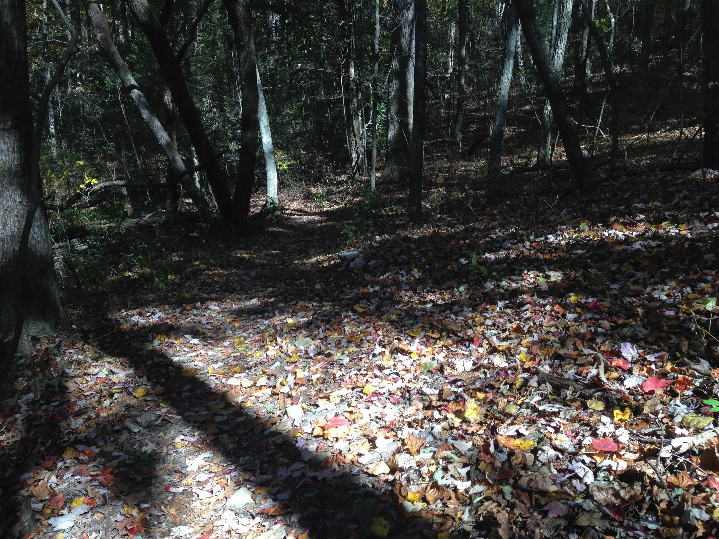
It was fall and the foliage had already changed to bright reds and yellows and oranges. At one point on the path the sun was beating through the canopy and different color leaves were falling all around me. There was almost a sweet cinnamon in the air and I just had to take a moment to appreciate the beauty of it all. This is the great thing about hiking, the slower pace you allow yourself to take. Taking it alone isn't as good as sharing it with your family but it is better than not experiencing it at all.
Springer Mountain to Three Forks | 4.3 Miles


Gear List
Click Links Below To View
- Osprey Exos 48 Backpack
- Ozark Trail 32f Mummy Down Sleeping Bag
- Hennessy Hammock Radiant Double Bubble Pad
- Warbonnet Blackbird XLC Hammock
- Warbonnet Superfly
- Platypus Hosier 2L Hydration Bag
- Trangia Alcohol Stove
- Hennessy Hammock Snake Skins
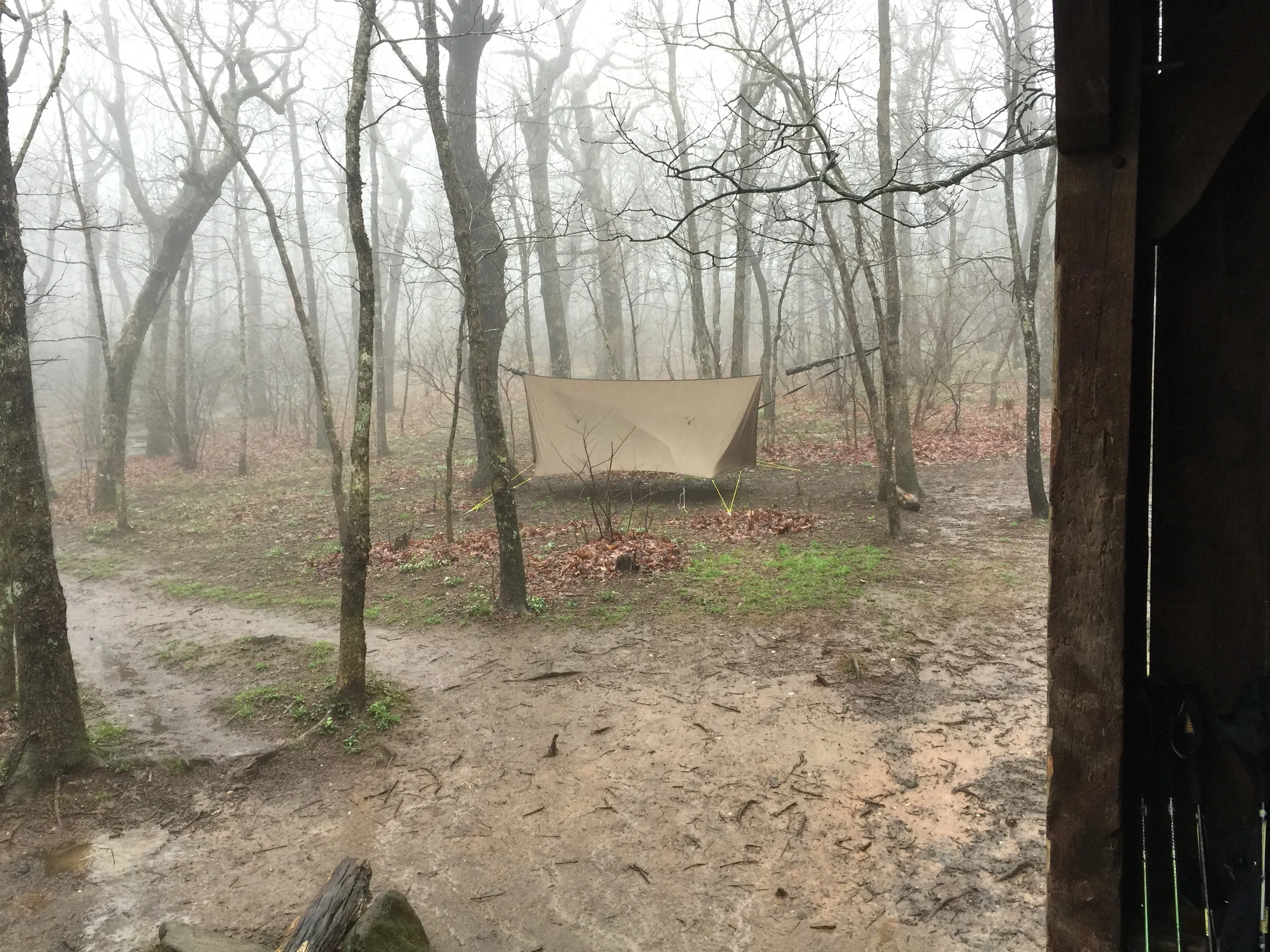
A bucket list item of mine has been to hike in a rain storm and I was given the perfect opportunity to mark this one off my list. With a massive storm sweeping what seemed like the entire country and Thru Hike Season just starting I decided to set off and fulfill my wishes. The one thing I learned very quickly is that others don't find hiking in the rain to be an enjoyable experience in fact most find it to be miserable. Yet again I was left to hike solo, but with my spirits up and new gear to test out, I was excited to make my way.
Hiking solo creates some of its own challenges. This trip I decided just to do a loop from Three Forks to the Summit of Springer Mountain. The trail up to Springer is 4.2 miles and moderate compared to the A.T Approach Trail. The Approach Trail surprises most people, it is probably one of the more difficult stretches that I have hiked. Upon arriving to the shelter at Springer my feelings were validated by the worn out, soaking wet hikers that I met coming in from the south.
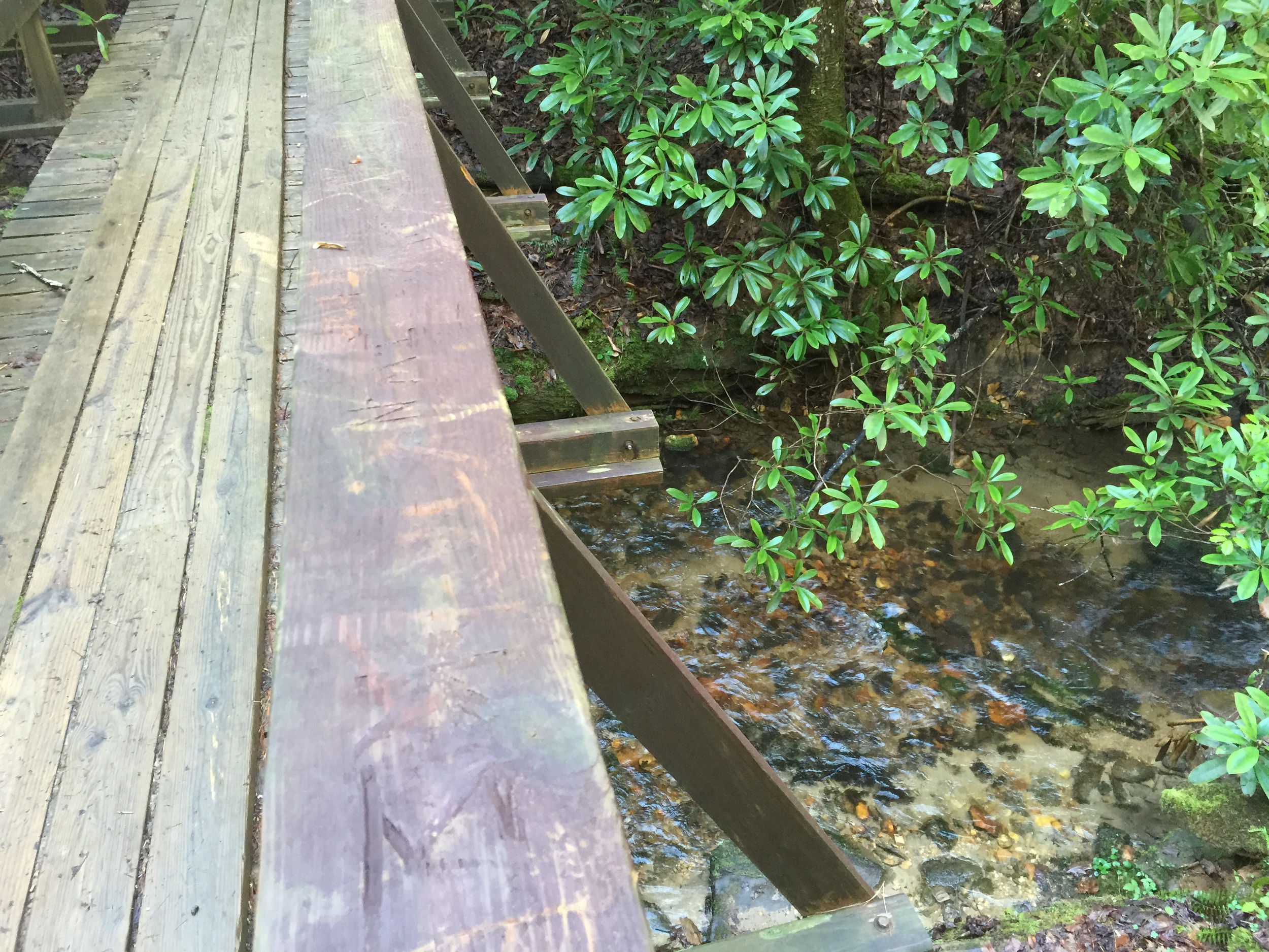
With my Osprey Exos packed and all of my gear secure from the elements I was on my way. The trail is very scenic and criss crosses back and forth over a few creeks the majority of the way up. With the rain being constant for 5 days prior, there were even small rapids. The mud was thick and the trail had small detours carved out from passers by who didn't feel like braving the mud. The rain was constant but never at a point where it was unbearable. In fact for most of my trek I kept my jacket off and let the falling raining cool me off and keep me from overheating. The temperature was a perfect 65 degrees and it was truly blissful hiking in these conditions.
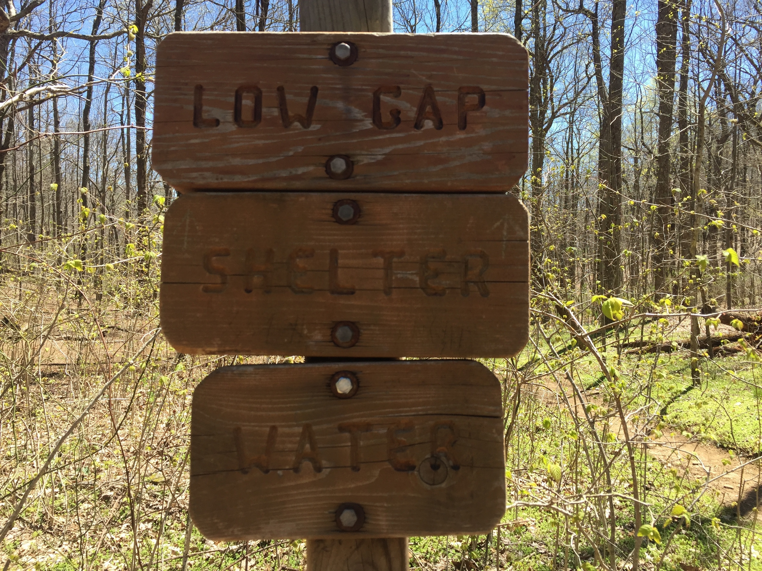
2 miles in to the trail is the Stover Creek Shelter. It is rather large and could probably sleep 12 or so. It is exactly halfway between Springer and Three Forks, which is nice because the shelter at Springer is notorious for being crowded. Another mile in is the parking lot for Springer Mountain for those who want to leisurely hike to the summit or for those being dropped off for the beginning of their thru hike attempt. From the parking lot is another mile to the top where you will find ample camp sites, a privy and the shelter.
As I made my way through the rain following the blue blazes to the shelter I was greeted by friendly voices who had may their way to the top of the summit from the Approach at Amicolola Falls. Most were drenched and physically exhausted but all were in good spirtis. Some were section hiking like myself and others were attempting to travel the 2,175 miles up to Kahtadin. The camaraderie among us was instant and we all shared stories and discussed the gear we were travelling with. One of my favorite parts about hiking is that you run into people who share your same interests and it is incredibly easy to make friends on the trail.
Three Forks to Woody Gap | 16.7 Miles


Gear List
Click Links Below To View
- Osprey Volt 75
- Nemo Rhythm 25 Sleeping Bag
- Hennessy Hammock Radiant Double Bubble Pad
- Warbonnet Ridge Runner Hammock
- Warbonnet Superfly
- Platypus Hosier 2L Hydration Bag
- Trangia Alcohol Stove
- Hennessy Hammock Snake Skins
Whew!!!!! This section can easily be recognized as Moderate to Strenuous. The initial hike out of Three Forks is wonderful. Walking for a few miles along the river and cascades, with the sound of rush water off to the left makes for an enjoyable few miles. Short climbs over Hawk Mountain and other small inclines taking you into Hightower gap really help warm up your muscles for the climbs ahead.
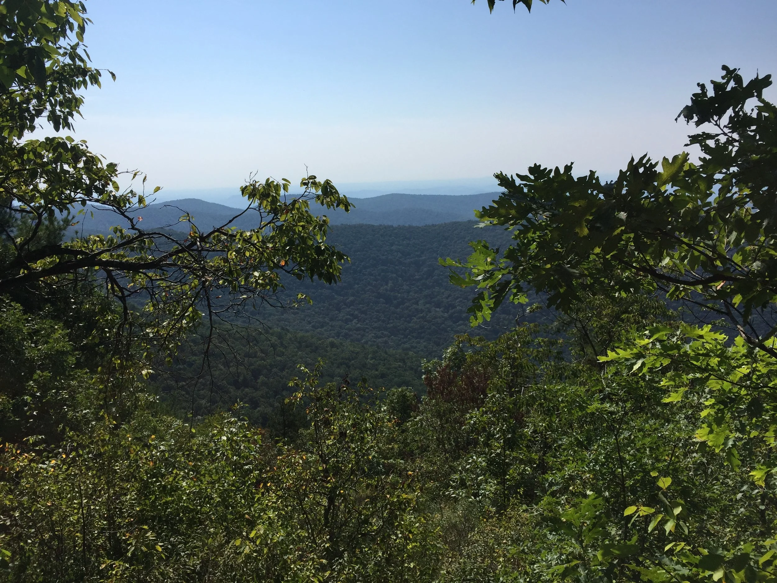
The real strenuous part are that you have two significant ascends in Sassafras and Justus Mountains back to back. These two will make you look forward to a lunch break. Although I exaggerate slightly the payoff is all the wonderful scenery. There are numerous creek crossings, ridge paths and views over the foothills looking as far as Stone Mountain and Downtown Atlanta.
Off in the distance you could here helicopters stuttering the air with their blades from the local Army Ranger base. We passed several SOBO Thru Hikers finishing there trek south from Katahdin to Springer. Full beard and body odor it was great to see them excited to be just a few miles away from completing what they have dreamed about for so many nights. All in all this section of the trail lived up to all the expectations.
Woody Gap to Tesnatee Gap | 16.7 Miles


Gear List
Click Links Below To View
- Osprey Exos 48 Backpack
- Nemo Rhythm 25 Sleeping Bag
- Hennessy Hammock Radiant Double Bubble Pad
- Warbonnet Blackbird XLC Hammock
- Warbonnet Superfly
- Platypus Hosier 2L Hydration Bag
- Trangia Alcohol Stove
- Hennessy Hammock Snake Skins
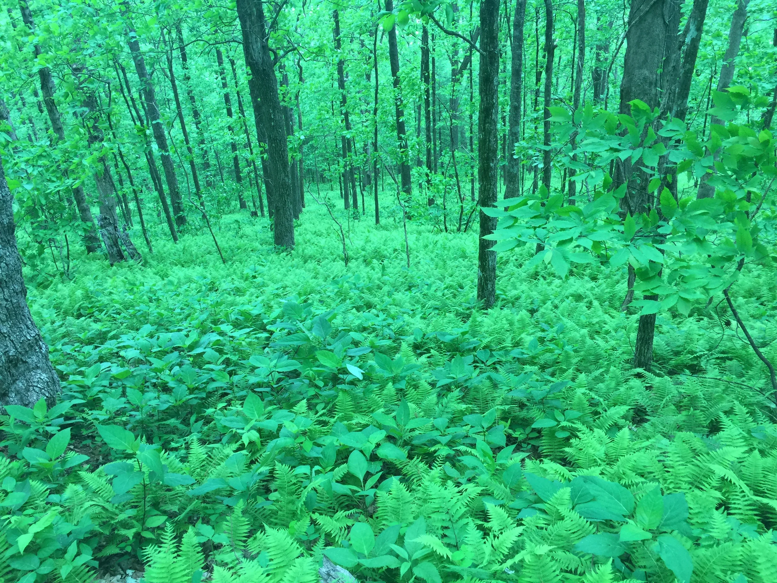
How nice it is to hike in the spring. The forest was in full bloom and the temperature was perfect for this 17 mile hike. I was fortunate enough to be joined by some hiking friends on this leg of the trail. We left a vehicle at the Tesnatee Gap parking spot and made our way over to Woody Gap. With the weather being as nice as it was, we found it difficult to park at Woody Gap but we managed to get a space and start our trek toward Blood Mountain.
This is one of the more popular stretches of trail on the A.T and we crossed paths with people from all walks of life. One of the things I love most about section and thru hiking are the conversations you strike up with complete strangers. Everyone has a different story and reason why they are out on the trail. Some have it on their bucket list, others just want to challenge themselves, but it seems like all of us have something calling us outdoors.
The trail was well carved by the heavy foot traffic from thru-hiker season, and plenty of tourists were day hiking. After the 11 miles to Blood Mountain we need to figure out where camp was going to be. Wolf Laurel was my target location but with everyone on the trail we were concerned we wouldn't have a place to camp. And being that it was another 3.5 miles we didn't want to take the chance. We found a nice location a mile shy and started a fire. Not long after we were joined by 3 locals doing some section hiking of their own.
This is definitely one of the more scenic stretches of trail I have completed so far. The views from Blood and Cow rock make every drip of sweat worth the effort. It was nice being able to stop the Mountain Crossings Store at Neels Gap and recharge before getting back on the trail.
Tesnatee Gap to Unicoi Gap | 15.2 Miles


Gear List
Click Links Below To View
- Osprey Exos 48 Backpack
- Ozark Trail 32f Mummy Down Sleeping Bag
- Hennessy Hammock Radiant Double Bubble Pad
- Warbonnet Ridge Runner Hammock
- Warbonnet Superfly
- Platypus Hosier 2L Hydration Bag
- Trangia Alcohol Stove
- Hennessy Hammock Snake Skins
I first need to preface this section by giving my friend John some props. I was able to convince him to join me on this 15 mile section of the Appalachian Trail without any previous trail experience. And not only that our hike started out with a mile hike up to Wildcat Mountain without any warm up miles. The view from the top was worth the climb however and I was able to keep him motivated for the following 12 miles we had scheduled for the day.
This hike was a little deceiving when looking at it on trail maps. I expected and easy day where I could blow through some miles and increase my MPH. Boy was I sadly mistaken, this entire trek was uphill and we were blowing through some calories. That coupled with the fact that most of the springs were dried up, we were feeling it early. Our plan was to make it to Blue Mountain Shelter and camp with some of the NoBo's but it wasn't looking promising.
After passing the small spring that is the beginning of the Chattahoochee River and crossing a rather treacherous rock garden we finally made it to our final ascend up to the shelter. At first, I thought I was looking at a mirage, but we made it to the top and set up camp. John got to experience sitting around the camp fire and sharing stories with the thru-hikers, which is an experience I have always enjoyed.
Unicoi Gap to Dick's Creek Gap | 16.5 Miles


Gear List
Click Links Below To View
- Osprey Exos 48 Backpack
- Ozark Trail 32f Mummy Down Sleeping Bag
- Hennessy Hammock Radiant Double Bubble Pad
- Warbonnet Ridge Runner Hammock
- Warbonnet Superfly
- Platypus Hosier 2L Hydration Bag
- Trangia Alcohol Stove
- Hennessy Hammock Snake Skins
By far the hardest section I have completed on the trail. After the last hike I had a helluva time trying to convince John to join me again, and after he saw we had 3 peaks to climb in the first 5 miles it wasn't easy. When it comes down to it though he is a gamer, and decided to make the trek. We were also joined by another good hiking friend, Brian which probably helped motivate him.
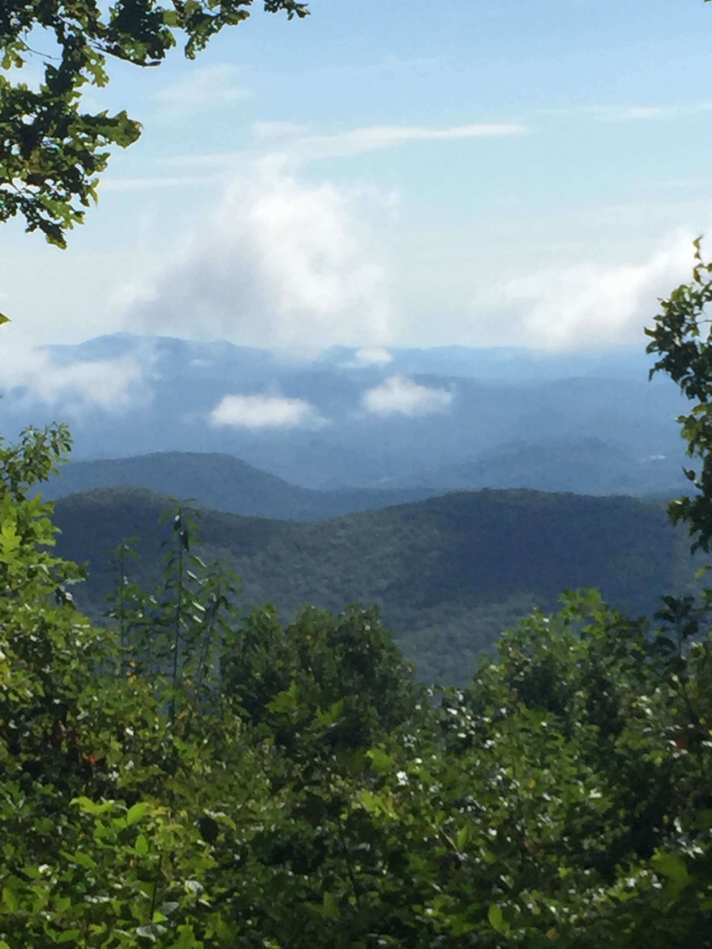
We shuttled back to Unicoi Gap after leaving the cars at Dick's Creek and got on the trail somewhere around 10 AM. It was a rough first mile getting our legs into climbing condition and the air seemed a little thin up there. The mountain tops did have some nice ridge lines to walk which evened out the trail and gave your legs a much deserved break from the climb. After making it to the top of Rocky Mountain we decided to sit on a bald for some lunch and looked at Tray Mountain which was to come next.
We were shooting for Addis Gap to camp, but after walking over 3 mountains I must say Sassafras Gap campsite looked awfully nice. We pressed forward, Brian made it about 15 mins before me and found a nice campsite. If you are up that way, there is a Forest service rd 212 that takes you to a creek and some nice campsites about .5 miles away.
While on the trail we met some very friendly hikers from Ohio, they were doing a few hundred miles and needed a ride into Hiawassee for a resupply that they had shipped themselves. Brian woke about an hour ahead of us to hike the remaining 5 miles with them and bring them into town. John and I slept in for a little bit, preparing ourselves for the climb out of Addis Gap.
The climb out of Addis Gap was BRUTAL!!!!!!!
Overall very strenuous but satisfying and worth every painstaking step we took.